Mt Baldy Hike
May 27, 2006


Finally a real day hike again:
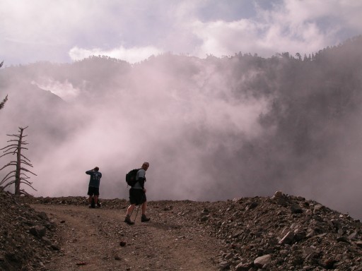
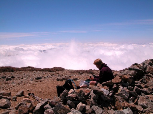
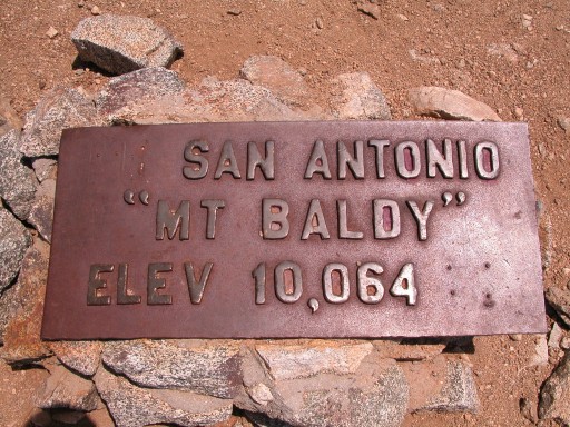
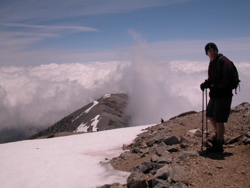
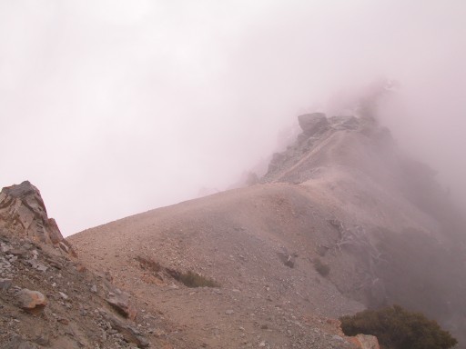
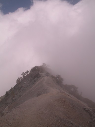
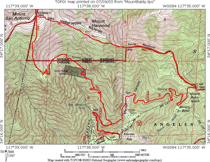
Today Jesper and I set out for the top of Mt. San Antono, commonly referred to as Mt. Baldy. This is our planned route, clockwise.


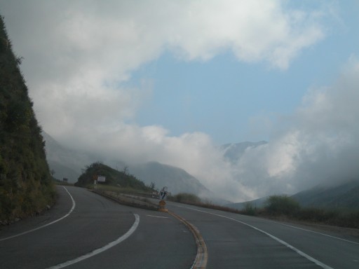
Driving through clouds on the way up to our starting point at 6,000 ft.


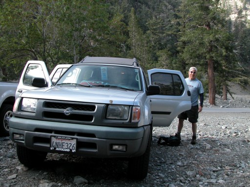
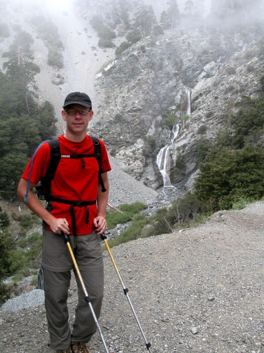
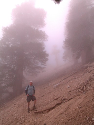
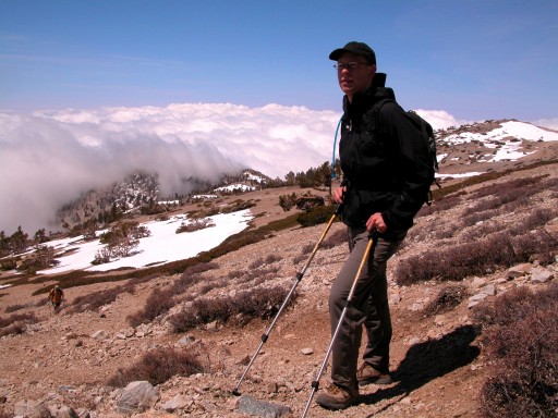
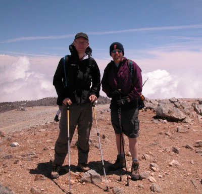
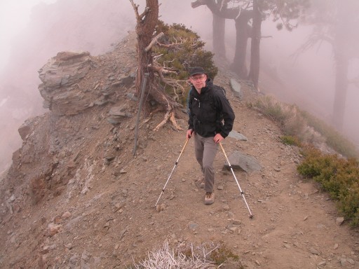
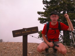
Jesper getting ready

San Antonio Falls


At 8,800 ft. we reached the ridge separating clouds from sun. This picture is taken due north, showing the clouds stuck on the eastern, leeward side.


Hikers descending after a long day on the mountain.

A project for the future: Mt. Gorgonio, 11,499 ft (3505 m)


Hans dreaming of future hikes (and resting).


Lunch at the top!


Click for larger 360 deg panorama from top.
To the north east (behind yellow back pack with two hiking poles) you can see the Mojave Desert where the cloud cover opens up.


Not much of a shadow, the sun is almost in zenith.


Top photo before descending.


We do the descent over 'Devil's Backbone'. Almost two miles along a sharp ridge with spectacular views.


Lots of dead trees and bushes gives this place a dreamy feeling in the fog.


Jesper named this one 'Devil's Dendrites'
see WidenHorizons.com


Could have been a scene from 'Lord of the Rings'...


Back to
California
Startpage