Mt. San Gorgonio Hike
November 26, 2006
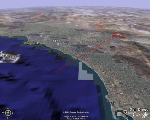
Overview of southern California, with Mt. San Gorgonio circled.
This is the highest peak in the greater Los Angeles area, at 11,499 ft (3,505 m)
Click for larger version
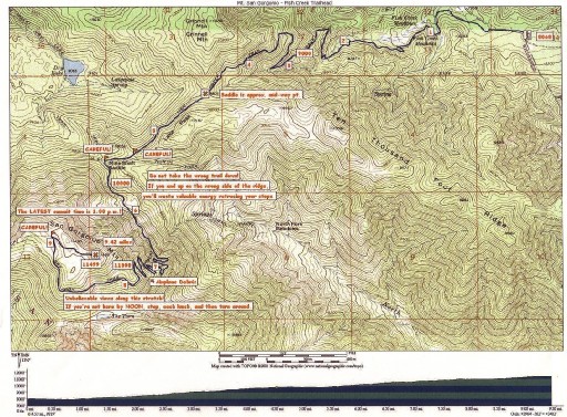
Topo map of the trail. We started at Fish Creek, 8,068 ft.
Click for larger version
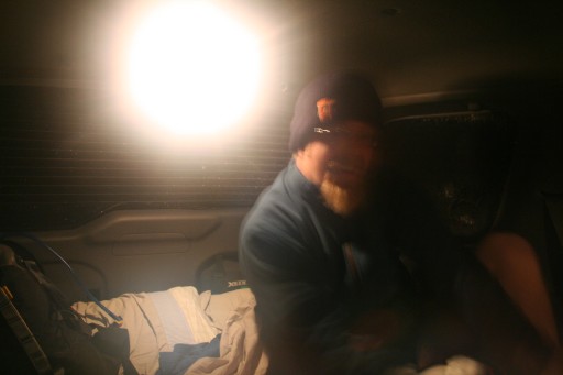
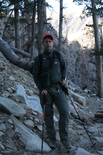
5am wake up call in the car. App. 20 degrees F.
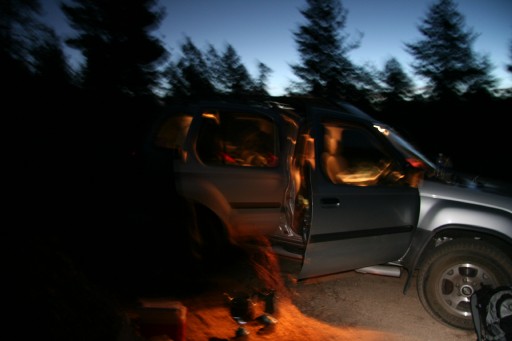
Breakfast and getting ready
We started with the first light, at 6am
|
After one mile the sun started kissing the mountaintops
|
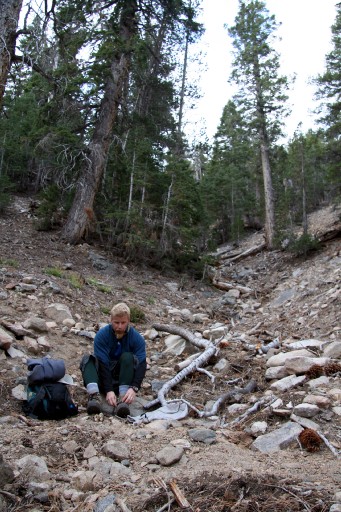
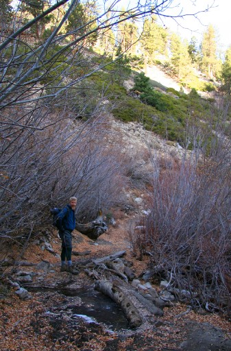
Quick adjustment after an hour
|
 |
|
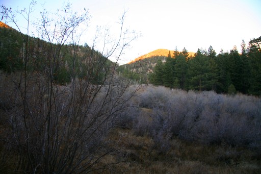
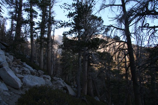
Passing a frozen Fish Creek
|
|
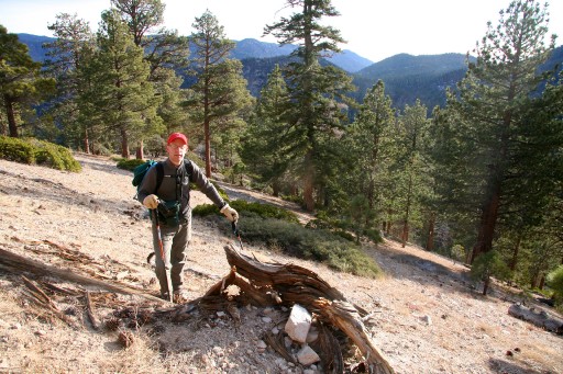
Gorgeous rest stop with a view to the north-east.
The mountain even provided a cupholder in the rock!
|
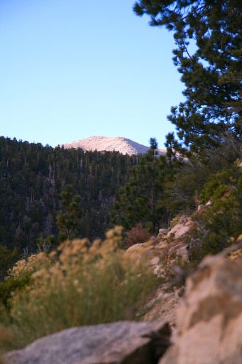
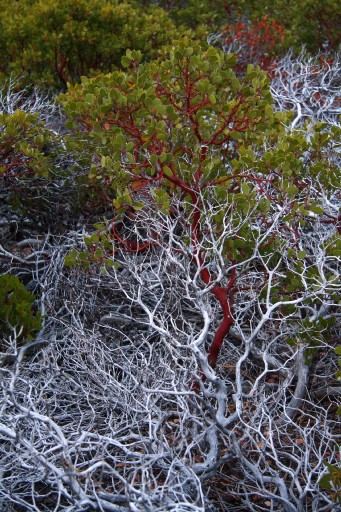
First glance of the peak after passing 9,000 ft.
It is evident why Gorgonio is often called 'Old Greyback'.
|
 |
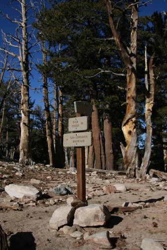
Dry Lake
|
 |
|
Getting closer...
|
|
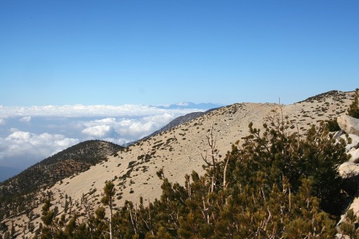
Just below 11,000 ft. View towards Big Bear Lake.
|
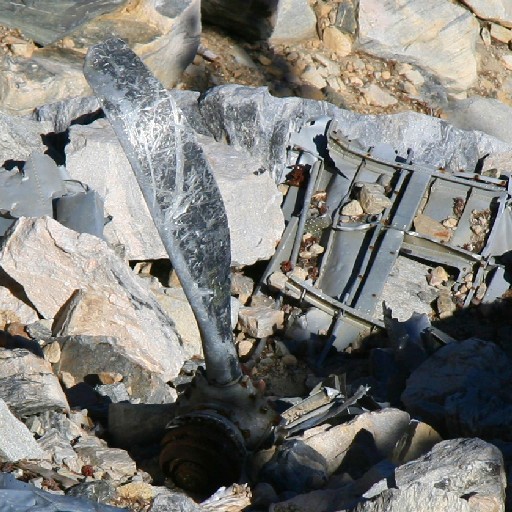
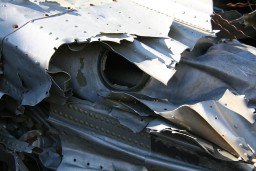
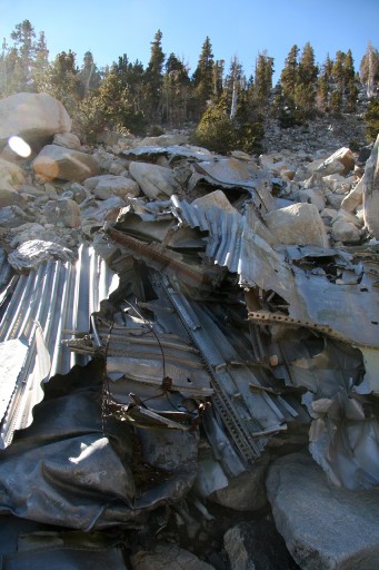
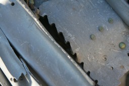
The remains of DC3 cargo plane that crashed on the slope of Gorgonio in the 1950s. The fuselage and wings literally straddled the trail.
|
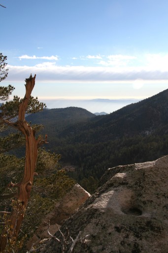
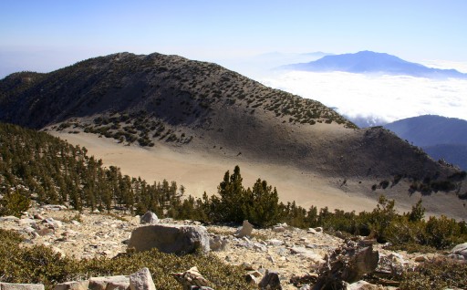
'The Tarn'. A very flat and smooth valley south of the peak, possibly the result of a long lost glacier. To the right is San Jacinto Peak (10,804 ft), south-west of Palm Springs.
|
...and from the same spot Mt. San Antonio (Mt. Baldy) (10,064 ft) is surfacing amidst the clouds.
See Mt. Baldy Hike
|
 |
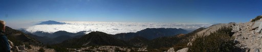
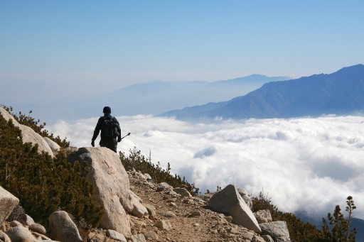
Panorama looking south. Note the cloud cover ending north of San Jacinto, over Palm Springs, showing the transition from coastal climate to desert.
Click for larger version
|
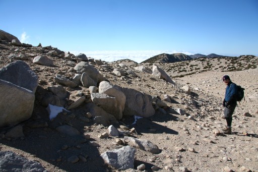
Almost there. Windy, but very decent temperature for being November. One week later Gorgonio saw the first snow, which usually lasts until midsummer.
|
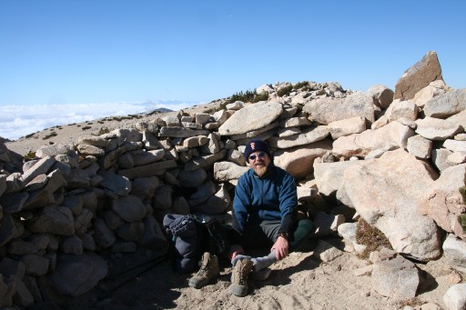
Jesper resting in one of the wind breakers at the top.
|
 |
|
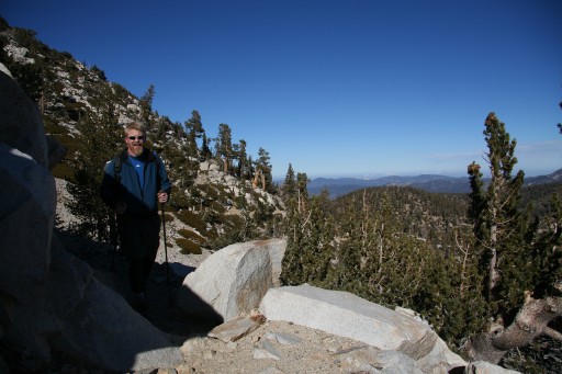
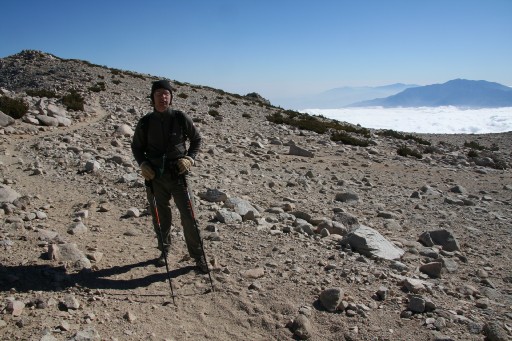
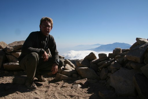
Hans with San Jacinto in the distance.
|

360 degree Panorama from the top.
Click for larger version
Remaining snow from last season.
'Widen Mountain' is visible in the center of the picture, see:
widenhorizons.com
|
 |
|
Downwards...
|
Almost down... The frequency of photographs from the decent tells a clear story in itself; Going up was not as strenuous as I had expected, but coming down was as long as coming up, and with 10.5 miles in the legs from the start...
|
 |
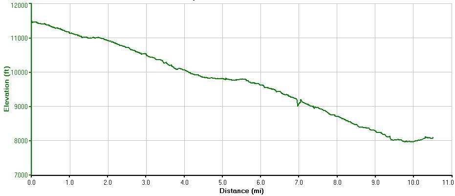
Elevation over distance plot from my GPS going down. This x2 makes for a good day hike... We reached the car 15 minutes before sunset at 4.45 pm.