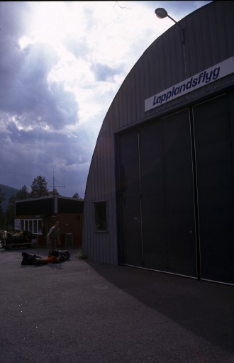
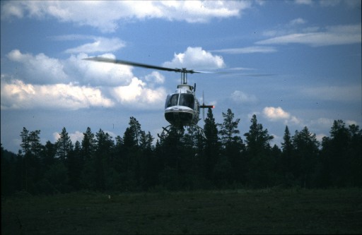
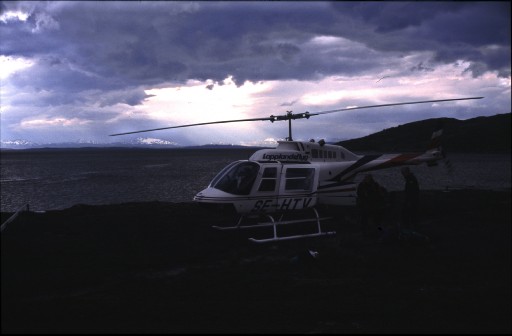
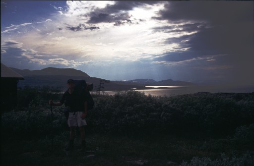
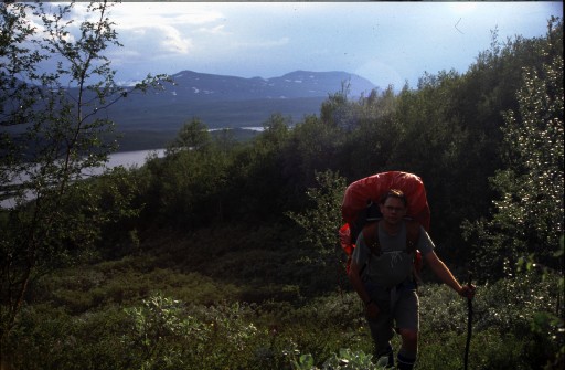
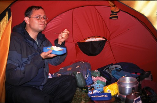
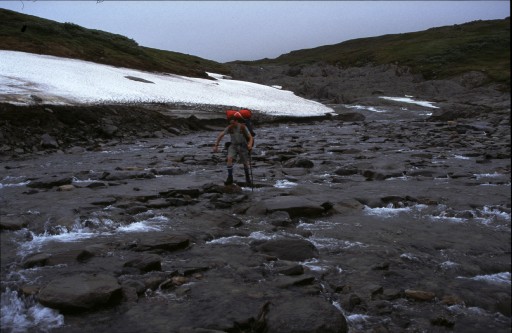
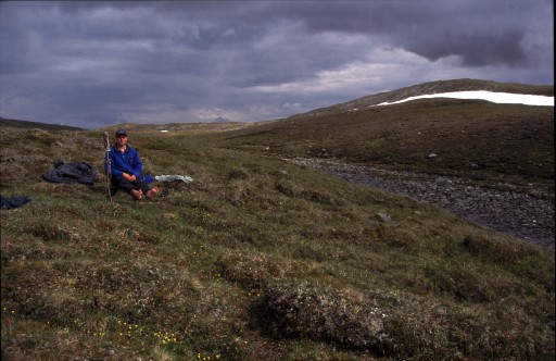
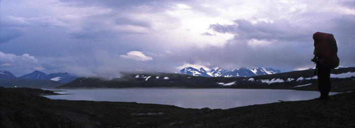
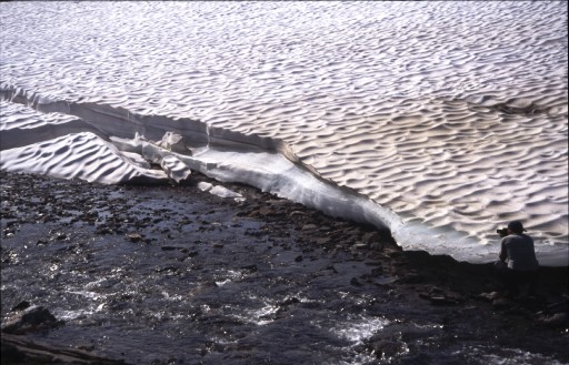
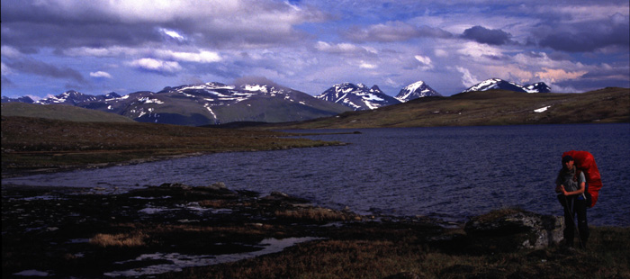
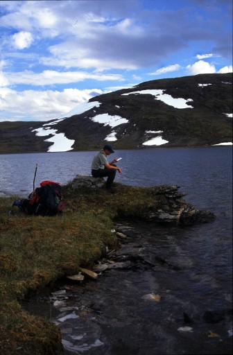
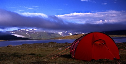
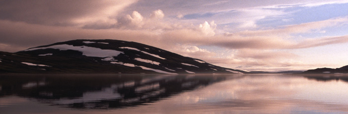
Sarek National Park
July 2001


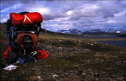
First of all, click link below for a map-popup. You can keep this map open and follow the hike...
Map


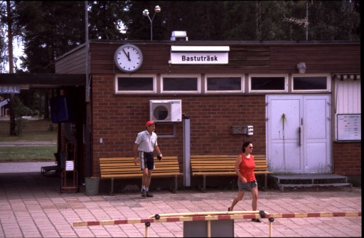
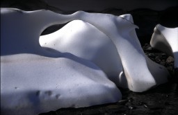
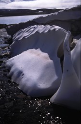
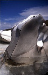
Traveling north through Sweden you pass lots of small and probably very special places. This is a classic, "sauna-swamp". It looks like most of the people in the village were out that day...

After spending the night on a train we were too late to catch the bus, missing our helicopter appointment. However they were kind enough to make an extra spin for us.


Here we go!


Hans buckled up.


Coming in over Virihaure lake in Padjelanta National Park. This helicopter ride saved us the one to two days of hiking needed to get in to Sarek. Helikopters are not allowed to land in Sarek, so this is still a short day's hike to the west of the Sarek border.


We disembark at nightfall close to Staloluokta mountain station.


Reday to find the first nice spot for the tent.


Next day we walked eastwards closer and closer to the Sarek border.
Luckily we had a decent head wind, so the mosquitos had a hard time to keep up. As soon as we stopped though...


Dinner was usually cooked inside the tent due to rain, temperature or mosquitos. But there is plenty of room.


Jonas crossing one of the first larger streams.
The later you choose to hike in Sarek the better since much of the snow has already melted, meaning water level in the streams is usually lower than earlier in the summer or in the spring.


But it is easy to get wet anyway... Relaxing during a glimpse of sun.


Aah... In the distance we can see the mountains and valleys that form the heart of Sarek, making it so famous.


Yet another stream to cross. This one with a snow field collapsing into it.


Time for rest. A very beautiful hike below Alkatjåkko with the Aljek massif in the distance.


So... how far did we hike today...?


Continue...