April 2, 2011
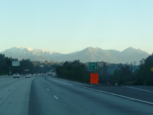
The San Bernadino mountains are visible from most of LA and Orange counties on a reasonably clear day.
Mount San Antonio, commonly known as Mount Baldy, the leftmost peak in this picture is the highest at 10,064 ft. This was our goal for today.
See also Hike to Mt. Baldy, May -06
|
 |
|
|
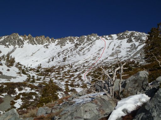
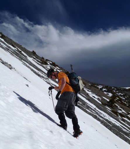
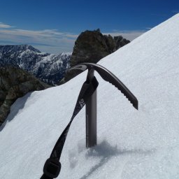
After passing the ski hut our plan was to leave the trail, put on crampons and follow the route marked here.
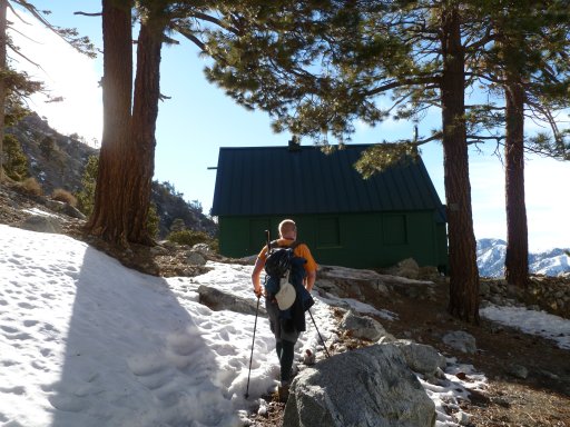
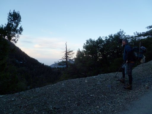
Arrived at the ski hut after 1hr 20 mins, and took a snack brake.
|
|
 |
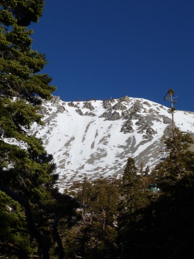
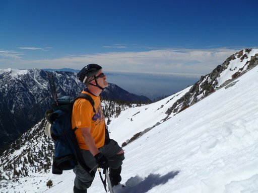
Perfect Southern California day!
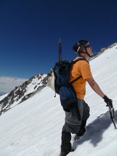 |
The LA basin under the clouds below us. Saddleback mountain coming out of the clouds behind Jesper's head.
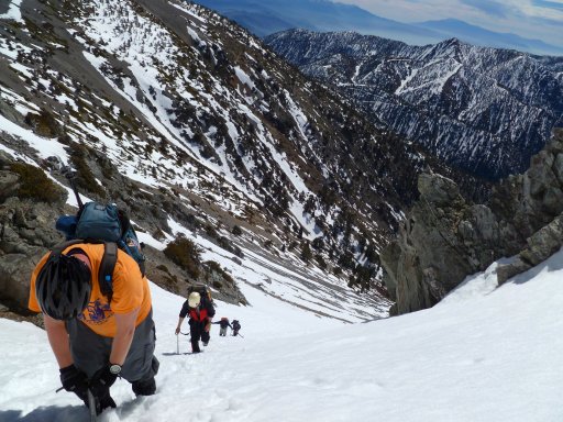
Almost there...
|
|
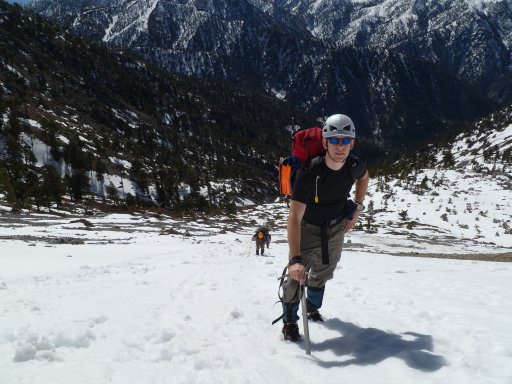
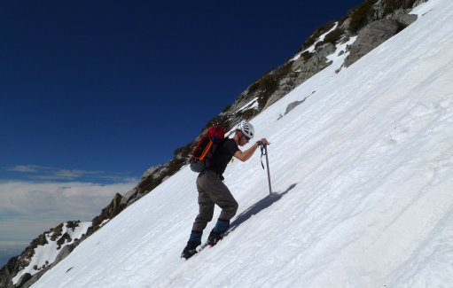
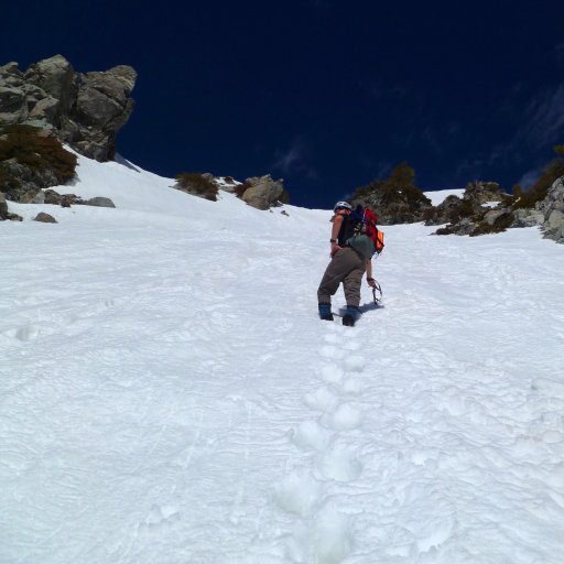
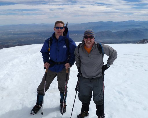
The steep part of the climb is over - after this we had some 400 ft of easier elevation gain to the summit.
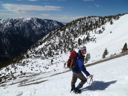
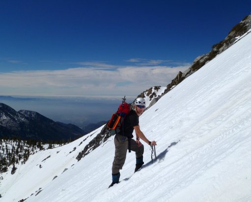
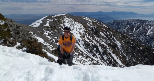
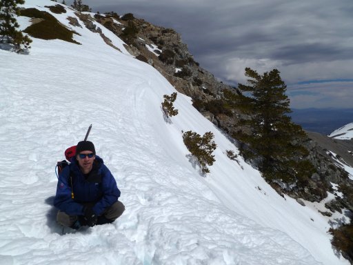
"Devil's backbone" behind Jesper, and snow covered Mount Gorgonio ( Mt San Gorgonio, Nov 2006 ) beyond that, over to the right in the picture.
|
 |
|
|
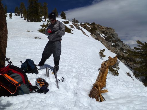
...but first a cup of coffee!
|
|
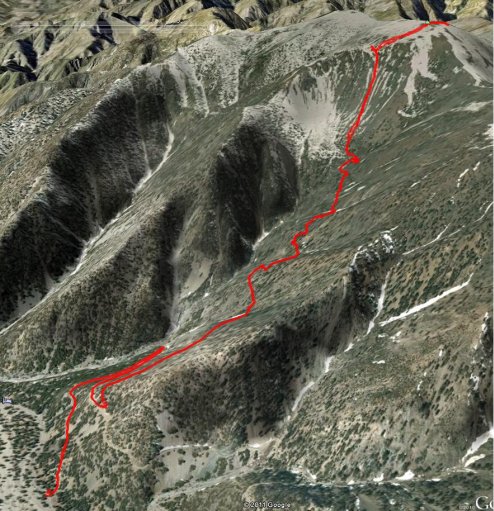
Garmin/Google view of our route.
